
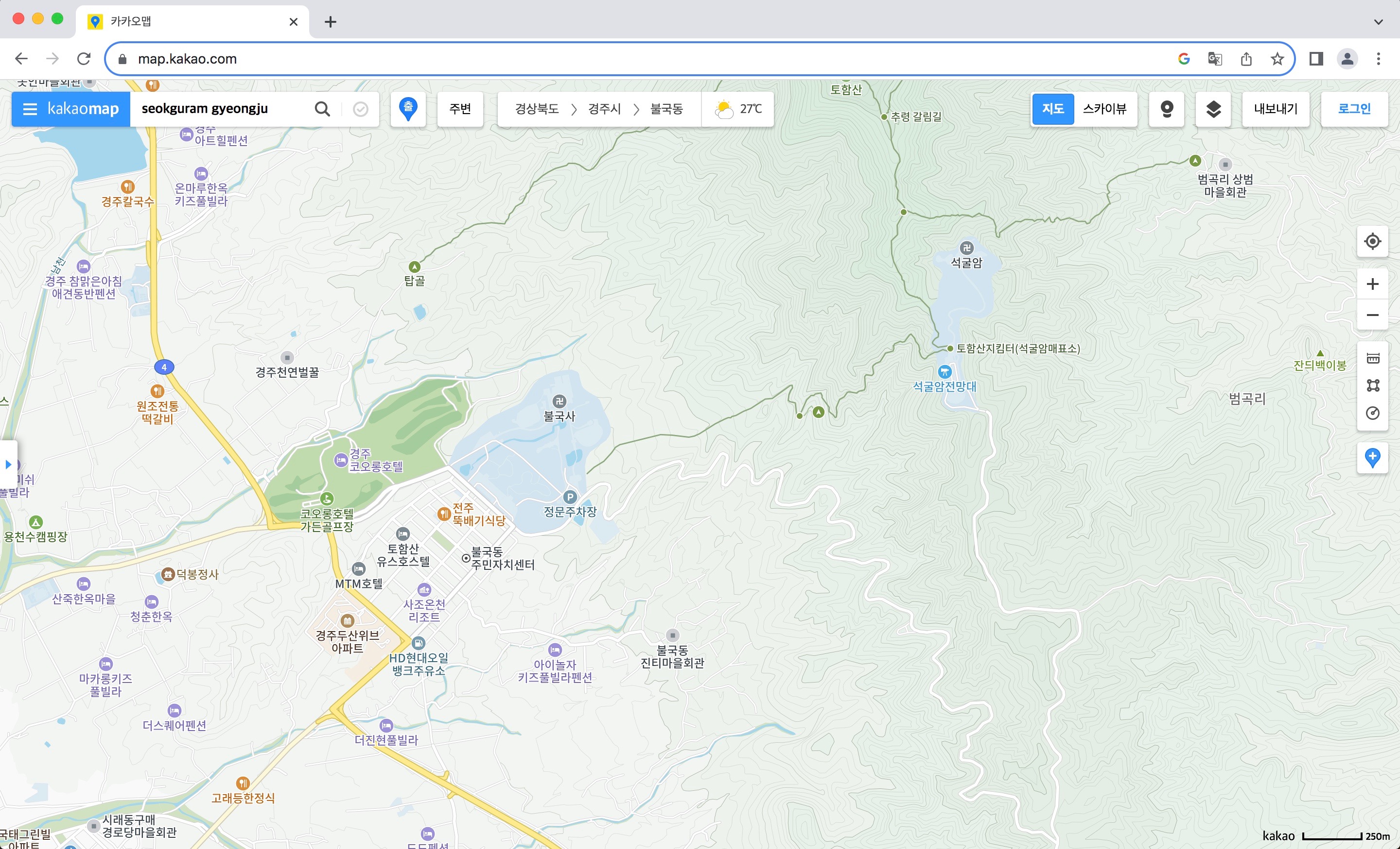
I sometimes use Google Map’s street view or Kakao Maps’ unnamed equivalent to review walks or drives I’ve. done, or preview ones I might do. In early March 2007, I travelled to Gyeongju. One day I explored Bulguksa temple and Seokguram hermitage. I walked up a well-formed trail and came back down by bus. I reviewed that trail and road.
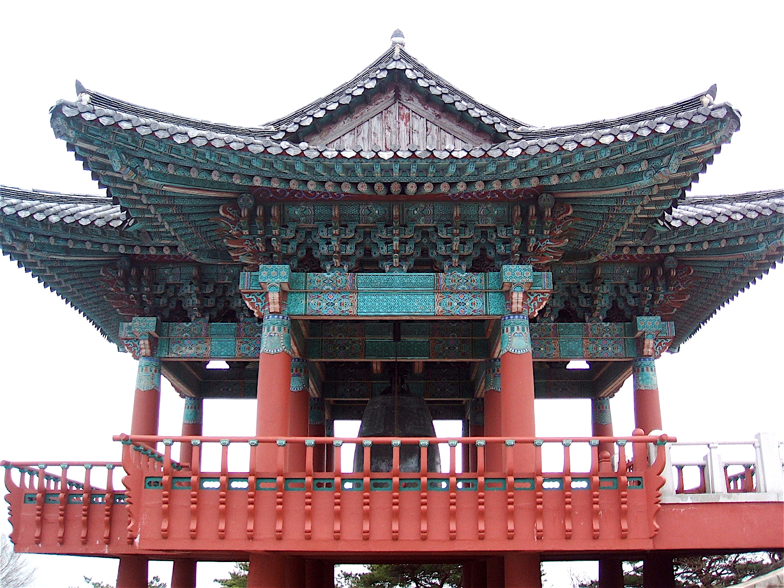
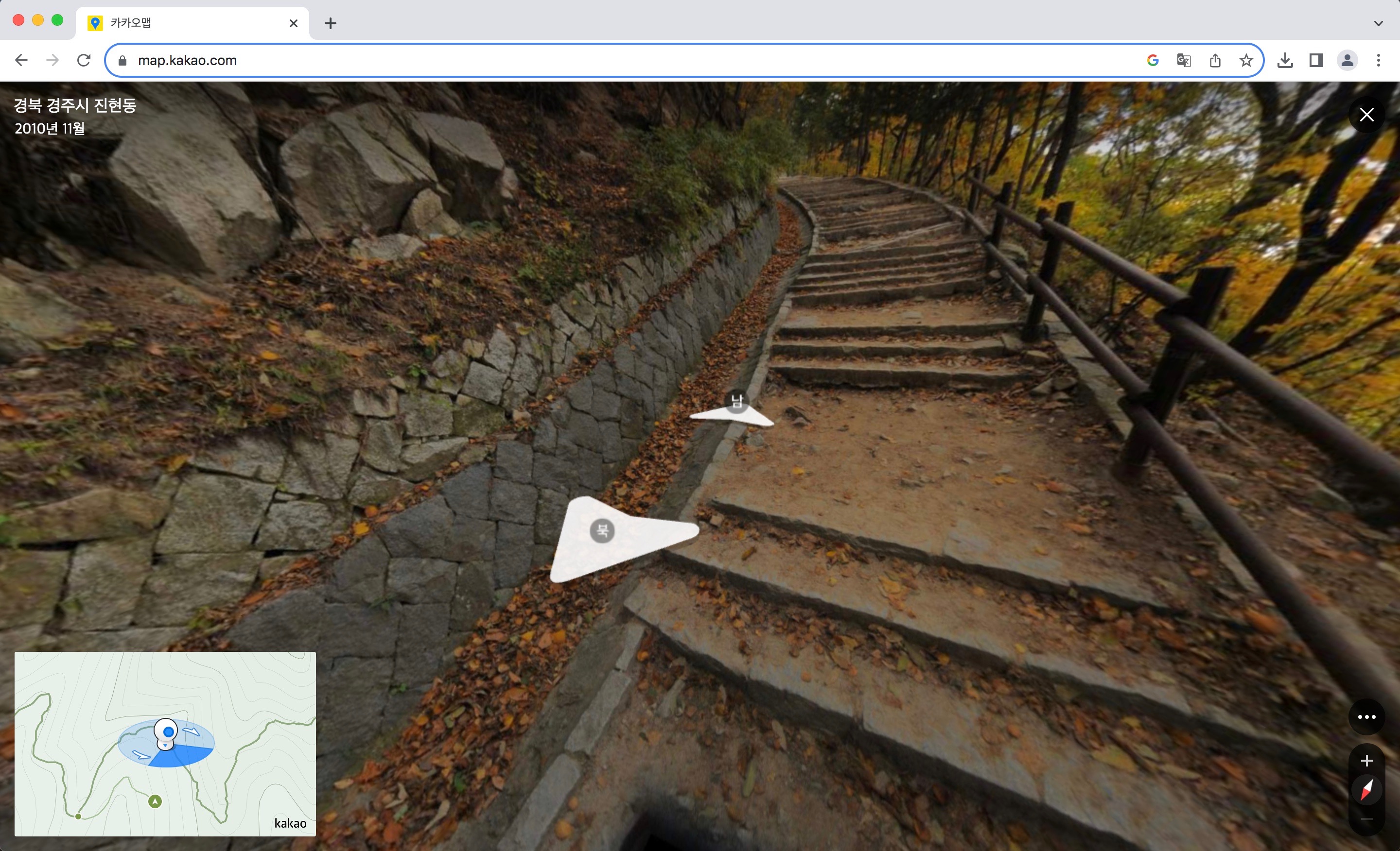
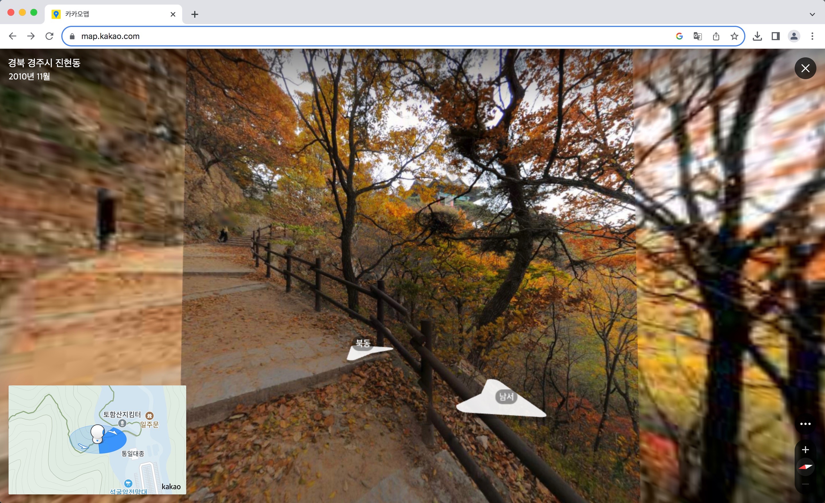
I don’t remember a lot about that walk, and Kakao’s street view was taken in a November and there the trees are full of autumn leaves, so it all looks completely different anyway. One thing I do remember is seeing through the trees a traditional-style pavilion at the top of the hill, which turns out to be in the corner of the carpark for Seokguram and the Tohamsan summit hike.

On Kakao, either that is obscured by the leaves or I wasn’t orienting the direction of the images at exactly the right time. Then I saw … a wall. I can remember that wall; it’s an otherwise unexceptional retaining wall, but its blocks are laid diagonally rather than horizontally, which I can’t remember seeing before or since. (Now that I’ve mentioned it, I’ll probably start seeing them everywhere.)
In particular, I remember a small furry creature popping its head through a gap. I managed to take one photo, which isn’t very good, but it will have to do.
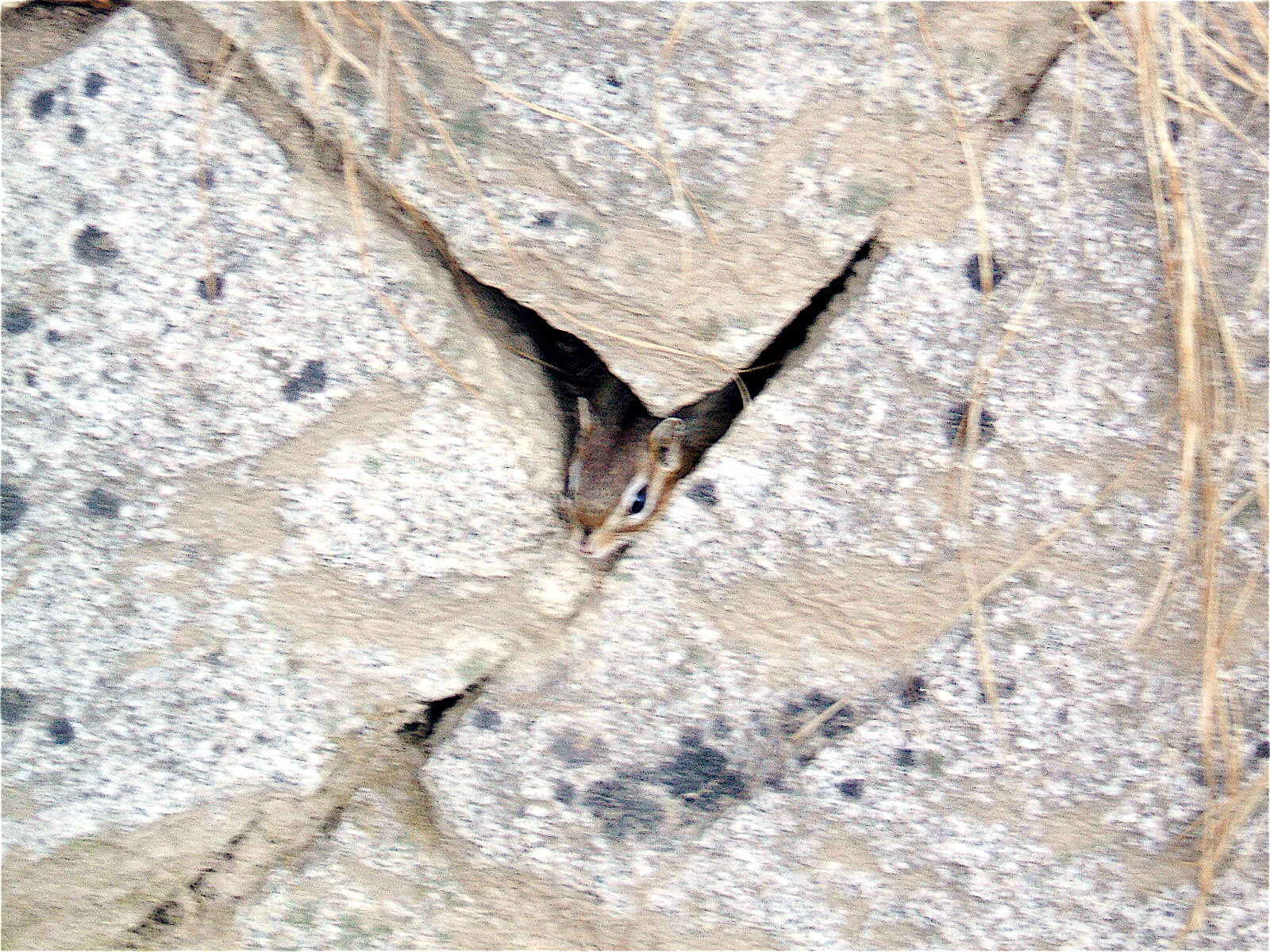
I can’t remember many things, but I can usually remember where and when I took photos. It’s probably not possible to find that exact spot, though.
Later: I found a glimpse of the pavilion through the autumn leaves.
See this post for a video encounter with another Korean wall.
One useful feature of Kakao Map is that walking trails are marked with approximate walking times. In particular, it says that walk take approximately 38 minutes uphill and 36 downhill.
